The Col du Perthus
Share
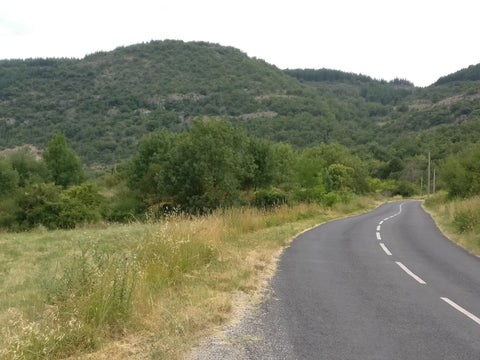
We take the Grézac path which will lead us to Lodève. It meanders between the hillside vines. At the moment it is ravaged by trucks which go up in the rotations to transport the ground of a trench which accommodates the pipe of drinking water. The rear wheels skid on the tarmac, especially when it is hot, and tear it off in patches.
You can see the village of Poujol on the left, overlooked by its cross on a rocky outcrop, a remnant of the edge of the Larzac plateau. In the distance at the bottom of the valley, cars and trucks crowd the highway like scale models.
We are on the slope of Grézac, a hill dominated by a limestone cliff. It is the preferred vacation spot for wealthy Lodèvois, but we are not there yet. We pass between vineyards and fields where the alfalfa grows back with difficulty after the first cut of spring.
On the right, a path goes up to the oppidum which was occupied from prehistory until the Middle Ages. It was a stronghold of which only a few walls remain, strong above all by its position, leaning against the cliff overlooking the valley.
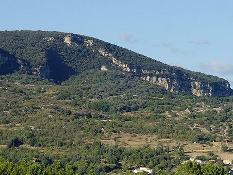
the Grézac, above Lodeve
learn more about the oppidum >>
Nice view of St Fulcran cathedral (bishop who lived in the 10th century, known for the miracles he performed).
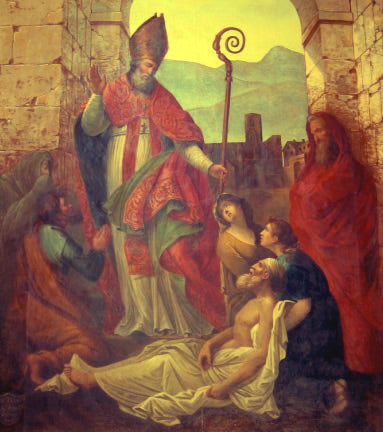
Saint Fulcran Blessing
find out more about St Fulcran >>>
The highway makes a deep cut in the wooded hill on the other side of Lodève and all the dwellings in height benefit from the incessant noise of the traffic.
We do not enter the city but take the Lanza del Vasto street on the right which will lead us to the Col du Perthus. We are still in the residential areas whose houses are accessible only by steep concrete ramps. I pass a couple of cyclists whose muscles and tendons bulge with the effort of the climb. The woman is in the lead, contrary to the habit which wants Monsieur to come first, leaving it to Madame to follow him if she can...
Below on the left, the hamlet of St Martin which housed engineers and executives of the uranium mine located at Bosc. After its closure, it became a residential suburb of Lodève.
A group of hikers loaded with backpacks take the cool in the shade. The road is still uphill, narrow and well maintained, but the risk of encountering a delivery truck going downhill is very real.
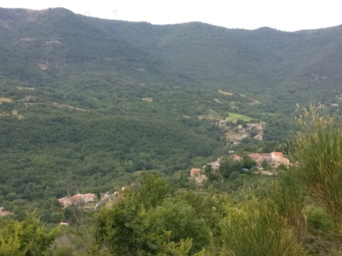
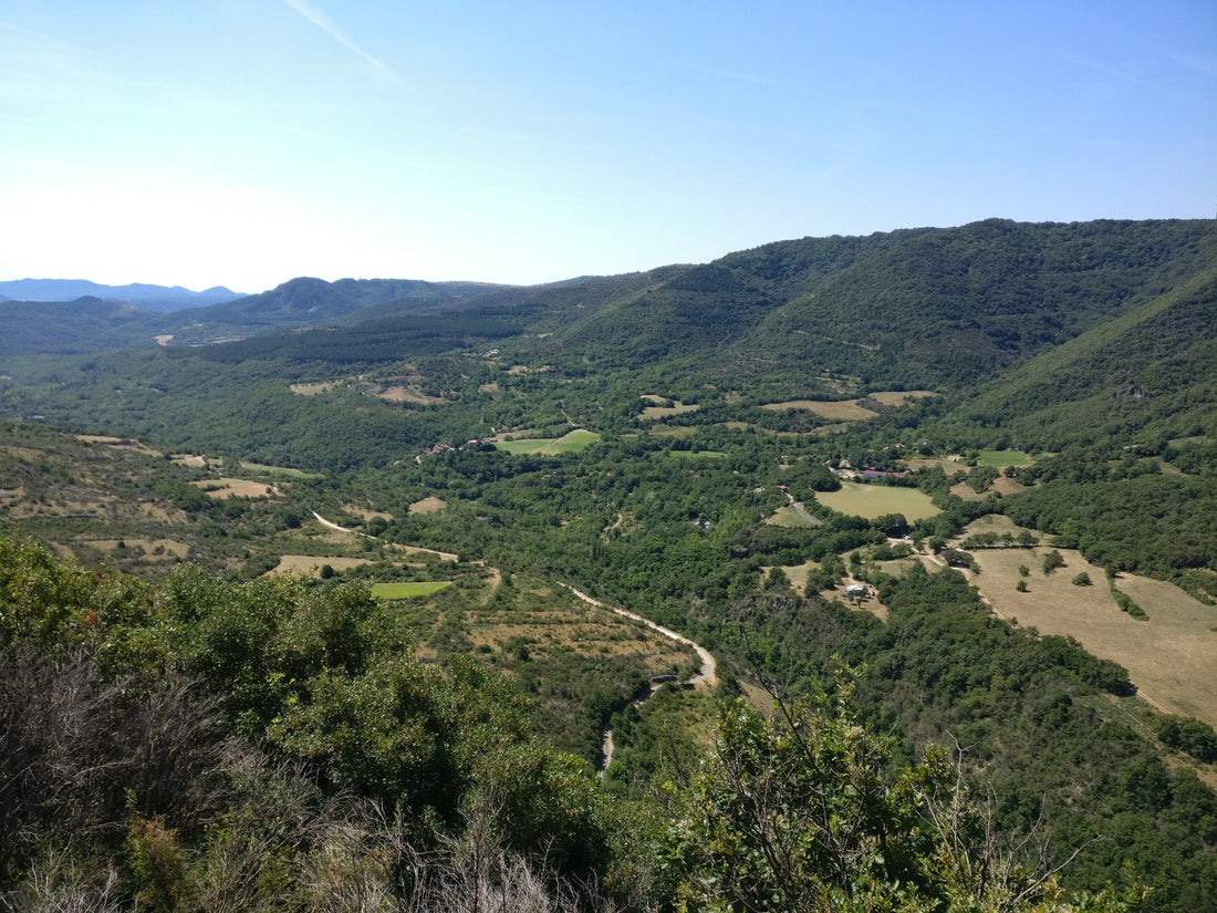
The village of Les Plans, in the Soulondre valley

the valley of Plans in the direction of Lodève
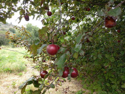
I discover a tree that I don't know, it looks like it bears wild apples.
We meet the different geological layers of the region while climbing the coast. There are layers of limestone, stratified horizontally. They tend to contain cavities, such as caves or sinkholes. It is a hard stone, difficult to carve, it is called the “cold stone”. You feel like you're flying over the Vallée des Plans, as if you were on a plane, except that you stay in good contact with the ground thanks to the grip of the tires on the macadam.
Forest paths climb the hill in wide Zs on the other side of the river. They allow firefighters to access these remote places in the event of a fire. These are the paths of DFCI Défense des Forêts Contre les Encendies and have sometimes surprising names such as EON8 or SAL6 with numbers.
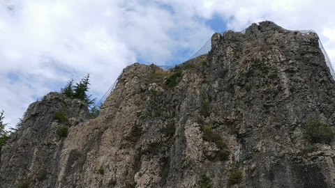
We begin to see limestone cliffs. These are massive dolomites from the Middle Jurassic according to Jean-Claude Bousquet in his book: “ the most beautiful sites of the Hérault ” which is my reference in the field of local geology.
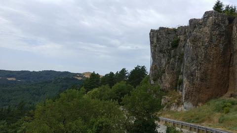
A large chunk of this cliff collapsed a few years ago, taking away a good length of road along the way. Since then, the department has rebuilt it and consolidated the blocks with large-mesh fences that do not seem capable of retaining these behemoths.
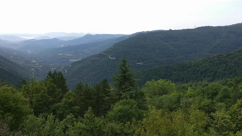
The view from this place extends to the sea that can be guessed on the horizon
You can continue this walk in the article le plateau de l'Escandorgue
